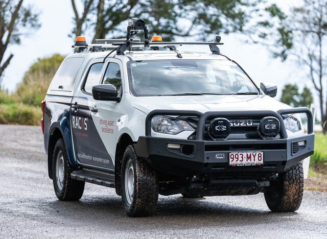
Ai technology aims to capture accurate picture of Livingstone’s road network

Digital Edition
Subscribe
Get an all ACCESS PASS to the News and your Digital Edition with an online subscription
CQ shines at wedding awards
Central Queensland businesses have walked down the aisle on the national stage, with 11 local service providers recognised at the Australian Wedding Industry Awards.
The...


